Aug132014
Posted at 10:18 AM
As multi-year sea ice continues to disappear at a rapid rate, vessel traffic in the Arctic is on the rise. This is leading to new maritime concerns, especially in areas increasingly transited by the offshore oil and gas industry, cruise liners, military craft, tugs and barges, and fishing vessels. Keeping all of this new ocean traffic moving smoothly is a growing concern for safety's sake. It's also important to the U.S. economy, environment, and national security. But what happens if there’s a major incident such as an oil spill in this remote region?
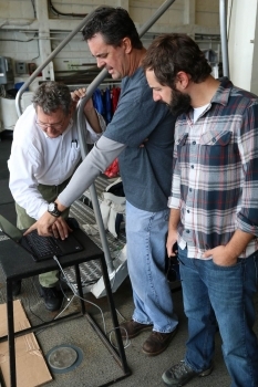
This month, researchers from NOAA’s National Ocean Serviceand NOAA’s Unmanned Aircraft Systems Program are taking part in an Arctic exercise aboard the U.S. Coast Guard Cutter Healy that is part of an annual effort to ensure the Arctic remains a safe, secure, and environmentally protected region.
During the month-long ‘Arctic Shield’ mission, the USCG’s Research and Development Center will simulate an oil spill once the Healy makes it far enough north to test technologies at the ice edge. The team will test a variety of technologies, including unmanned airborne and underwater sensing platforms.
The NOAA components of this exercise focus on testing technologies to improve oil spill reconnaissance and mapping to enable faster and safer decision-making while operating from a ship—a likely platform for responding to a spill in the Arctic due to lack of infrastructure and accommodations.
One major objective during the mission is for NOAA’s UAS group to fly the unmanned Puma to map the extent of the simulated “oil” plume, and to provide live video and photos back to the ship of what it is “seeing”. For this exercise, the “spill” will be fluorescein dye, an inert tracer often used for oceanographic and riverine water transport studies.
The other key objective for NOAA is to continue to test and refine a special ‘Arctic edition’ of an NOS mapping website called ERMA®, or Environmental Response Management Application. Since Deepwater Horizon, ERMA has been an essential data visualization tool during environmental responses of all kinds: oil spills, hurricanes, tsunamis, and even large fires. ERMA provides front line responders, agency leadership, and the public with vetted response-related information. ERMA increases government transparency and data sharing during environmental responses; and is also critical in integrating emergency response operational information with environmental injury assessment and restoration planning.
ERMA will be used to display data gathered by the NOAA Puma and other unmanned technologies (underwater, on the ice, and in the air) so that all of the research team can see where measurements have been taken, what the information is telling them, and to guide how to best respond to “cleaning” up a spill in such a remote, icy environment. ERMA will also use the Healy’s onboard satellite communications to relay data back to the live ERMA website so people not physically on the vessel can maintain situational awareness of the mission.
Frequent updates will be posted to the National Ocean Service website, so check back often. Arctic Shield 2014 runs from Aug. 8 through Aug. 30.


